Fort Cedar
Introduction
Text-to-speech Audio
Images
Parowan Valley to Cedar City region on 1878 map, green=irrigable land, grey=standing timber

Key to 1878 map of irrigable lands etc. in Utah Territory

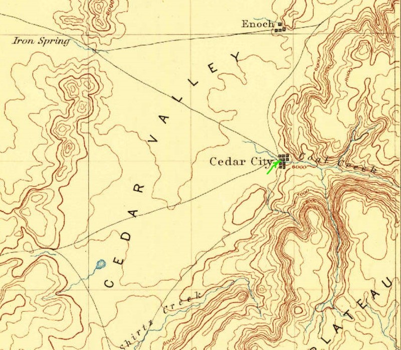
Fort Cedar approx. location (green arrow) on 1885 topographic map of Cedar City vicinity
Backstory and Context
Text-to-speech Audio
The monument off the dirt road leading from W. Industrial Road marks what had been the southwest corner of Fort Cedar, near the John D. Lee Gate.
Coal had been discovered along Coal Creek in May of 1851, and thirty-five Mormon men followed later that year from their base at Parowan. Led by Henry Lunt, they arrived during a snowstorm on November 11th, 1851. The first fort established was a temporary enclosure, formed by the wagon boxes they brought with them on their journey and sage brush walls around an adjacent livestock area. Sentry walks flanked the row of wagon boxes with their adjacent camp fires. The settlers who occupied Fort Cedar during its first winter included John D. Lee as the fort's Commander. The settlers were reportedly glad to see a peddlar who arrived at Fort Cedar in January 1852, and purchased warm clothing which they had been lacking.
Some of the settlers moved further south to establish the iron works on Coal Creek in 1852. A more permanent fort was built at this site in 1853, and measured 100 rods square, covering 63 acres. The fort's walls were nine feet tall and were three feet wide at the base, tapering to one foot wide at the top. The interior of the fort was divided into 120 lots.
Another fort was built in 1851 about six miles further south of Fort Cedar and was named Fort Walker. Only nine adult men were among the occupants of Fort Walker. Fort Harmony was established on Ash Creek, around nineteen miles further south of Fort Walker, and became the southernmost point in the valley that was occupied by white men. Brigham Young advised that the Cedar City fort be moved closer to the ironworks on Coal Creek, and this was done in 1855. The town of Cedar City, near the ironworks, grew to contain almost 800 residents by 1883.
Sources
Bancroft, Hubert Howe. History of Utah, 1540 - 1887. San Francisco, CA. The History Company, 1890.
Kirchner, Bill. Fort Cedar Historical Marker, The Historical Marker Database. June 16th 2016. Accessed August 25th 2020. https://www.hmdb.org/m.asp?m=59515.
U.S. Geographical and Geological Survey of the Rocky Mountain Region 1878, https://lccn.loc.gov/2006636646
https://lccn.loc.gov/2006636646
USGS 1885 St. George, UT topographic map, 1:25,000