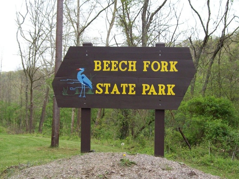
Beech Fork State Park
Introduction
Text-to-speech Audio
Images
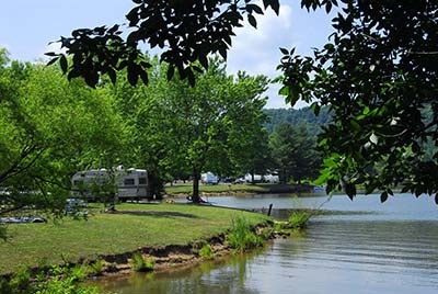
Picture of the lake and campers.
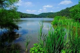
Beech Fork Lake
Backstory and Context
Text-to-speech Audio
One of the most popular state parks in the state for camping, Beech Fork State Park sits on the eastern boundary of Beech Fork Lake close to the border of Wayne and Cabell Counties. The lake was created as part of the integrated flood control system for the entire Ohio River basin created by the Corps of Engineers authorized by the Flood Control Act of 1962. The lake, along with many of the other small reservoirs throughout the state, were created in order to control the flow of water and reduce flood crests along the Ohio River. The lake displaced residents of two small communities: Bowen, located on Beech Fork Creek where the state park in located today, and the community of Booton, on the banks of Millers Fork Creek, a tributary of Beech Fork Creek. When the lake was created, archaeologists surveyed the area which would be impacted by the lake and found several archaeology sites and historic log homes. One of these century old log homes was preserved and moved to the State Park for visitors to see. Along the hiking trails, visitors can see the remnants of these communities in the form of old roads, cemeteries, and remnants of homesteads such as foundation stones, wells, and cellars. It is important to remember that it is illegal to disturb or remove anything from prehistoric or historic archaeology sites located within the boundaries of the lake or park.