Somerset Place Driving Tour Stop #5: Cherry and Moccasin Canal
Introduction
Author-Uploaded Audio
Listen to a narration of this entry's description by Somerset Place State Historic Site User.
Text-to-speech Audio
- Turn right onto Weston Road. After 1.7 miles, turn right to stay on Weston Road. After 0.8 miles, turn left onto Cherry Road. You’re driving through the rural community of Cherry, located at the uppermost navigable point on the Scuppernong River. It began as a Post Office in 1898 and was later incorporated as a town from 1905 until 1935.
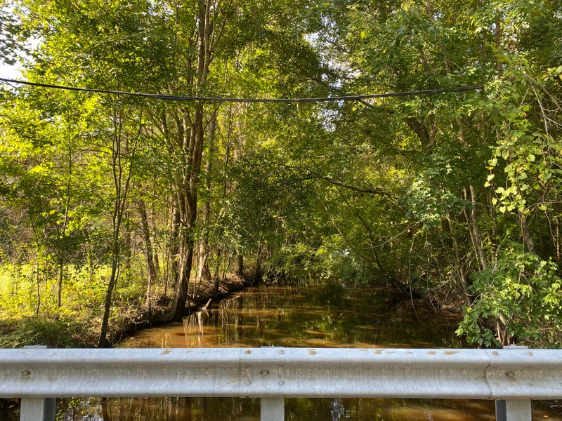
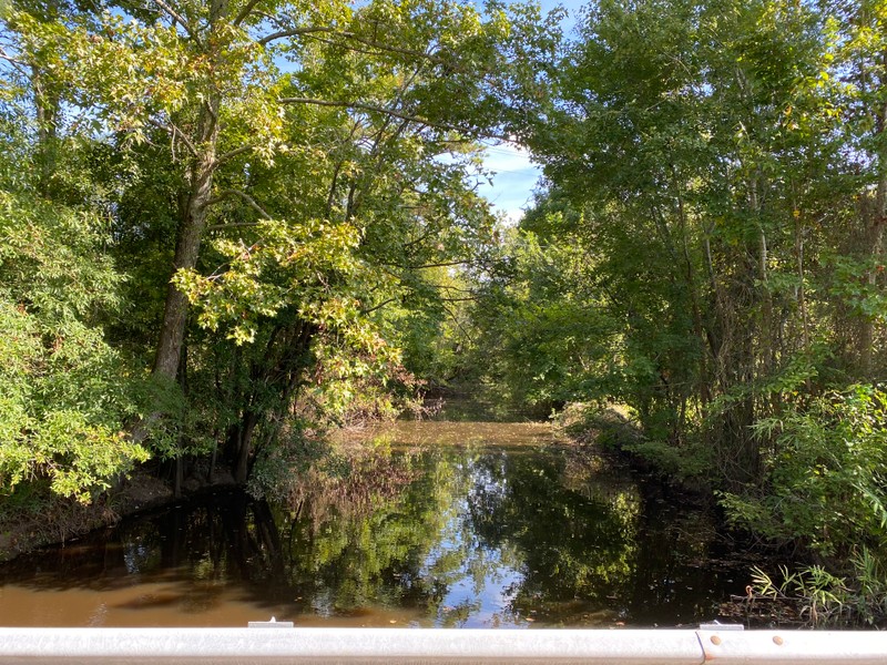
- After a half mile, turn left onto Ambrose Road. Ahead of you is Moccasin Canal, which was hand dug by the enslaved community in the late 1840s and was the westernmost canal on the plantation. It extended the cultivated fields over three miles from the Transportation Canal. Since it was constructed for draining the nearby swampland, Moccasin Canal originally did not connect with Lake Phelps like it does today. It did, however, flow into the Scuppernong River.
Images
Cherry
.jpg)
Cherry
.jpg)
Moccasin Canal looking south-southwest
Moccasin Canal looking north-northeast
Backstory and Context
Text-to-speech Audio
Sources
Elizabeth Burgess Lucas Modlin, Helen Frances Bickel Jones, and Shirleyan Beacham Phelps, eds., Washington County, NC: A Tapestry (Plymouth, N.C.: Washington County NC Board of Commissioners, 1998).
Somerset Place State Historic Site research files.
Image Sources(Click to expand)
Somerset Place State Historic Site
Somerset Place State Historic Site
Somerset Place State Historic Site
Somerset Place State Historic Site