Montana Hi-Line
Introduction
Text-to-speech Audio
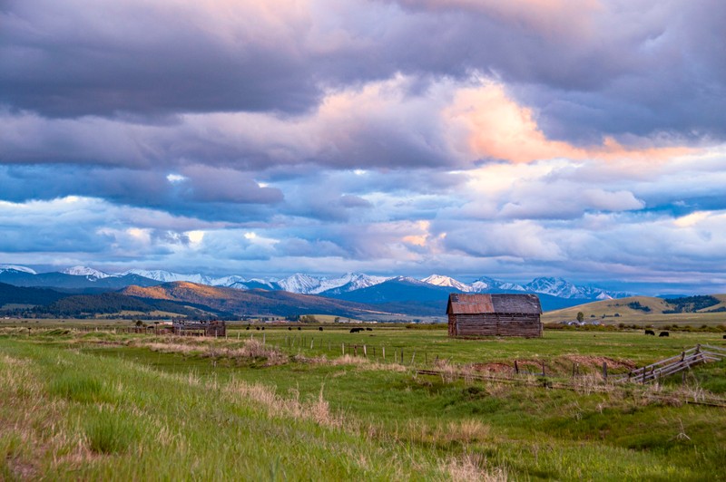
We are traveling in an area referred to as the Montana Hi-Line. It’s comprised of rolling prairie, seemingly endless fields of wheat, large herds of cattle, and statuesque mountains to the west. To Montana residents, the Hi-Line typically refers to the part of Montana along these railroad tracks and U.S. Highway 2, south of the Canadian border, stretching from North Dakota in the east to Idaho in the west, a distance of more than 650 miles.
Images
Montana Hi-Line
Backstory and Context
Text-to-speech Audio
The Hi-Line’s development can be traced to the Great Northern Railway. The railroad moved thousands of farmers and ranchers into Montana and then moved their crops out to market. A multitude of towns were founded along the rail line, which served as supply and transportation points for otherwise remote farmers and ranchers. Shortly thereafter, U.S. Highway 2 was constructed. The Hi-Line’s heydays were in the 1920s. Unfortunately, demand for many products raised and cultivated in this region dropped with the onset of the Great Depression and further declined during prolonged drought conditions in the mid-1930s. The Montana Hi-Line briefly prospered again during World War II.