Eastern Continental Divide and Proclamation of 1763 Marker
Introduction
Text-to-speech Audio
Images
Marker (facing west) by Bernard Fisher on hmdb.org (image reproduced under Fair Use).
Backstory and Context
Text-to-speech Audio
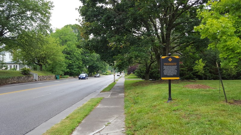
The marker sits at the intersection of South Main Street and Graves Avenue in Blacksburg, Virginia. Main Street crosses the ridge of the Eastern Continental Divide near this spot. The watershed east of this ridge empties into the Atlantic Ocean via the Roanoke River basin; the watershed west of it empties into the Gulf of Mexico via the New, Ohio, and Mississippi River basins.
On October 7, 1763, English King George III issued a Royal Proclamation declaring the continental divide line as the border past which colonists could not settle. The proclamation came in response to an influx of settlers west of the Appalachian Mountains after France ceded territory to England at the end of the Seven Years' War (1754-1763). Native American tribes, however, had not ceded the land. Wealthy Virginians claimed land in efforts to diversify their agricultural activities beyond tobacco, and other groups of colonists sought to move west as well.
The proclamation designated all land west of the line as reserved for Native Americans, ordering "that the several Nations or Tribes of Indians with whom We are connected, and who live under our Protection, should not be molested or disturbed in the Possession of such Parts of Our Dominions and Territories as, not having been ceded to or purchased by Us, are reserved to them, or any of them, as their Hunting Grounds." In some cases, the British military had attempted to stop settlers from going west. At the same time, however, the British failed to build strong relationships with indigenous tribes who had sided with the French during the Seven Years' War, and also failed to understand their cultures and customs. Ottawa leader Pontiac organized attacks on British forts, leading to the decision to place a border past which colonists could not settle.
The proclamation was largely ineffective, and violence between Native Americans and the British continued for several more years until Pontiac signed a treaty in 1766. This action in the defense of Native Americans stirred sentiments against the king, and was only exacerbated by the later Quebec Act of 1774, which also altered land management on the frontier.
A few miles from the marker is the beginning of the Eastern Continental Divide Loop trail, which links sites on both sides of the divide.
Sources
Fisher, Bernard. Eastern Continental Divide & 1763 Proclamation Line, Historical Marker Database. June 26th 2016. Accessed January 23rd 2020. https://www.hmdb.org/m.asp?m=84779.
Office of the Historian, Foreign Service Institute. Proclamation Line of 1763, Quebec Act of 1774 and Westward Expansion, Milestones in the History of U.S. Foreign Relations. April 8th 2018. Accessed January 23rd 2020. https://history.state.gov/milestones/1750-1775/proclamation-line-1763.
Virginia Department of Game and Inland Fisheries. Eastern Continental Divide, Virginia Bird and Wildlife Trail: Mountain Region. Accessed January 23rd 2020. https://www.dgif.virginia.gov/vbwt/mountain-trail/MED/.
https://www.hmdb.org/PhotoFullSize.asp?PhotoID=312863