This entry includes a walking tour! Take the tour.
Introduction
Text-to-speech Audio

Images
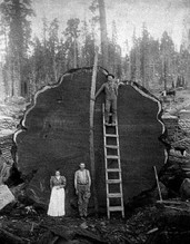
Logged Cypress
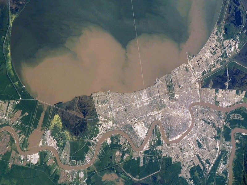
Sediment plume traveling from Mississippi River to Lake Pontchartrain through the Bonnet Carre Spillway
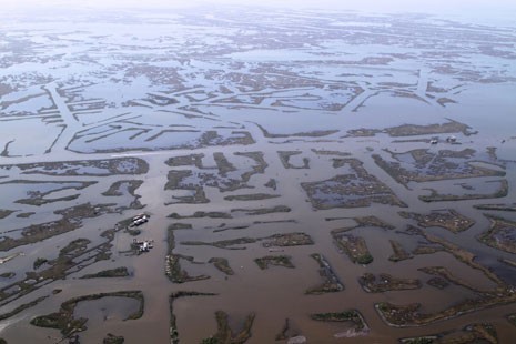
Canals cut through Louisiana's Coast
Laughing nutria

Backstory and Context
Text-to-speech Audio
Although LPBF has been active in coastal restoration since its inception in 1989, it was in June 2005 that a formal program was created. This aggressive commitment to the coast was triggered by the realization that the coastal wetlands were getting worse in spite of ongoing authorized restoration programs.
A plan was devised by LPBF called the Multiple Lines of Defense Strategy. This strategy recognizes natural and manmade lines of defense combined with wetland habitat restoration to provide hurricane protection as well as coastal restoration.
Following the hurricanes of 2005, LPBF looked carefully to its Comprehensive Habitat Management Plan. The CHMP consists of over 100 projects and is the blueprint for restoration of the habitats in the Pontchartrain Basin. The CHMP projects were prioritized choosing the 10 habitat restoration projects that would also provide flood protection for the Greater New Orleans area. These projects became known as the Pontchartrain Coastal Lines of Defense Program.
The Coastal Sustainability Program conducts many projects around the basin, including scientific studies, restoration projects and long-term analysis. The development of our Hydrocoast Maps provides a bi-weekly snapshot of conditions across the basin.
Additionally, LPBF partners with many agencies, NGOs and universities to study, plan and implement projects that protect all of our citizens from future storms and to keep our coastal region economically and culturally sustainable for the future.
Scroll down to link to learn more about our Coastal Restoration Projects.
Cite This Entry
Tannian, Kate. "Our Coast." Clio: Your Guide to History. May 28, 2020. Accessed April 8, 2025. https://theclio.com/entry/4574/tour/3