Flint Creek Aqueduct
Introduction
Text-to-speech Audio
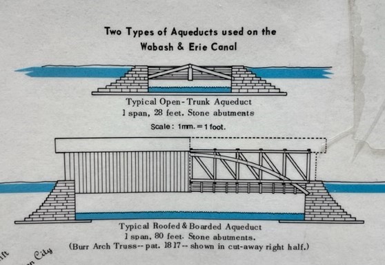
Flint Creek Aqueduct was the fourth aqueduct built on the canal starting at Fort Wayne and moving southwest. It allowed Flint Creek to flow into Huntington city unhindered by the canal. The original aqueduct had a total length of 28 feet.
We don't know how much of the current entrance to the underground is from the canal and how much is modifications made when Flint Creek was covered over in the late 1800s, but the construction of the arch and the materials on top of the arch are believed to be in the original style at least.

Images
Typical Aqueduct Construction
View of Flint Creek Aqueduct

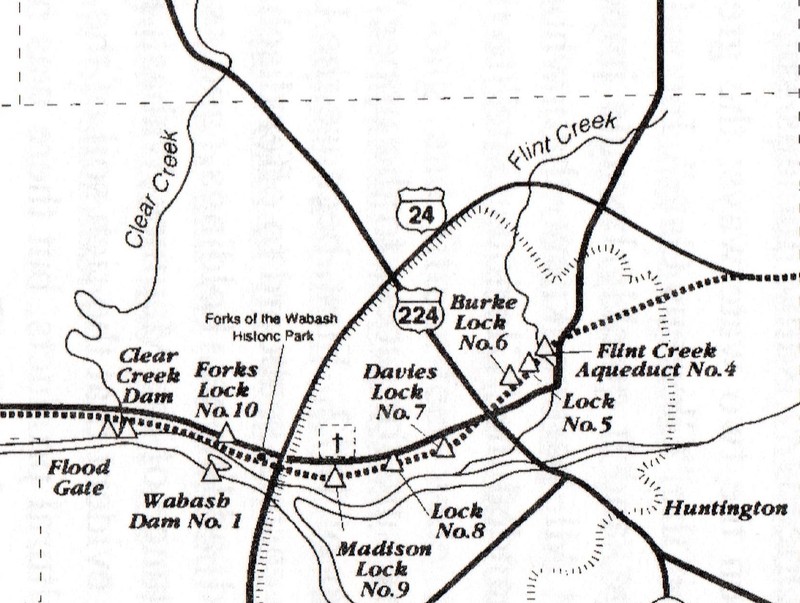
Map of Canal Through the City of Huntingotn
Flint Creek Entrance c1900

Backstory and Context
Text-to-speech Audio
Flint Creek was submerged and an aqueduct built just north of the corner of First and Tipton. This vital creek provided the fresh water needed by the Huntington Brewery and flows past the Court House, under the City Building and exits into the Little River behind the Duke Energy Building. Today, stonework that might date back to the time of the canal can still be seen if one looks closely.
“‘How did the canal cross Clear Creek?’ Mr. Crandal was asked. ‘They build aqueducts over the creeks,’ he explained. ‘There was one at Clear Creek and one at Silver Creek. There was one at the place where Flint creek enters the sewer and another at Roanoke. The aqueducts were water-tight and worked all right.’” Canal aqueducts can bend your mind a bit since they represent a water “road” going over a natural water way. They are also sometimes called water bridges.
Cite This Entry
Kirby, Sarah A. V.. "Flint Creek Aqueduct." Clio: Your Guide to History. June 3, 2022. Accessed April 27, 2025. https://theclio.com/tour/2228/11
Sources
- “Crandal Tells of Days When Men Battled Weather and Each Other on Old Canal,” Huntington Press [Huntington, IN] 16 October 1921.
- Meeks, Thomas & Julia, Profile of the Wabash & Erie Canal, Anthony Wayne Printing, 1984.
- Bates, Roy M. 1936. Map and profile of a portion of the Ohio and Indiana canal system, 1832-1888: the Wabash and Erie and Miami and Erie Canals from the Cass-Carroll County line, Indiana to the Henry-Lucas County line, Ohio. [United States]: [Publisher not identified].
- Castaldi, Thomas E. 2002. Wabash & Erie Canal notebook: Allen and Huntington counties. Fort Wayne, Ind: T. Castaldi.
- Flint Creek Entrance. c1900. Image file im-huntington-photographs-602. Huntington City-Township Public Library.
Meeks
Staff photo
Castaldi
Keefer Center Files